Finding the way without GPS

Adam Shoalts speaks about his book at Second Wedge Brewery in Uxbridge.

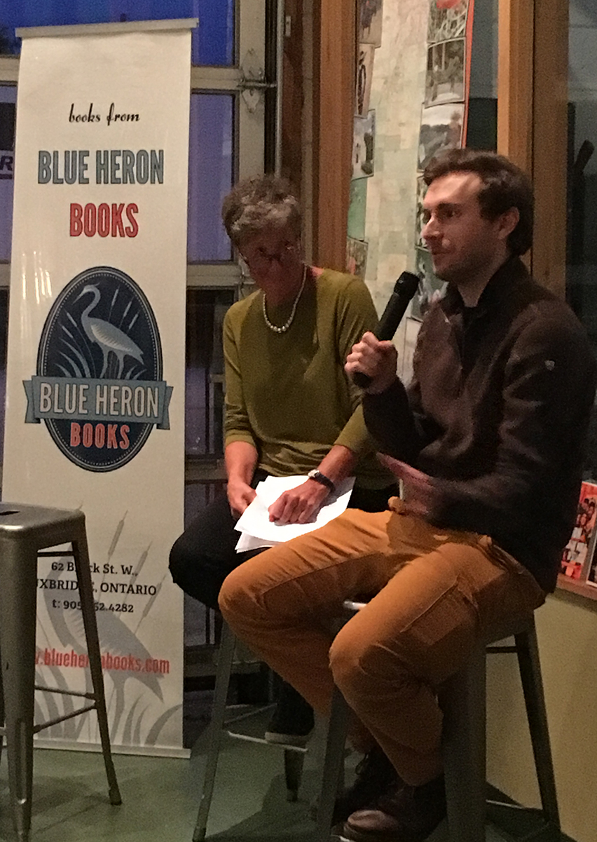
As he sat on a bar stool at one end of the Second Wedge brewery, a few nights ago, talking about his latest book, I got the sense Adam Shoalts was a different sort of author. Blue Heron Books had brought along piles of his book, A History of Canada in Ten Maps, to sell. And he seemed game to answer whatever questions either the host or audience threw at him. But when he was asked – in fun – whether he needed GPS to navigate his way to Uxbridge, he had a logical map-reader’s answer.

“I came from several hours north of here,” Shoalts admitted. “I didn’t use GPS. I just memorized all the highways and roads I’d need to take to get here, and I arrived within minutes of seven o’clock,” the time of his presentation. (more…)

How to get there

So I looked for...
I figured I could just follow the orange detour signs.

Earlier this week, I paid a visit to Midland, Ontario. The Askennonia Senior Centre had invited me to do a keynote speech for the annual Veterans’ Luncheon there. Not a problem, except that the Bruce Peninsula is not a region of the province through which I travel often. I wasn’t familiar with the roads. To make matters slightly more challenging, travelling up Highway 400 and in search of Hwy 93 (the route to Midland) that day I suddenly faced a problem.

“Exit to Hwy 93 closed,” the sign read. “Follow detour signs.”

(more…)

Tools of a bygone era

Dominion Land Survey working at the turn of the 19th Century in Alberta.
Dominion Land Survey working at the turn of the 19th century in Alberta.

A surveyor friend of mine stopped by on the weekend. Actually, Reid Wilson asked if he could poke around the corner of my front yard last Saturday. I obliged, but wondered what it was all about. He said he was doing a quick unofficial survey looking for property lines, but he needed to find a key marker.

“Any idea where the corner survey stake is?” he asked me.

(more…)