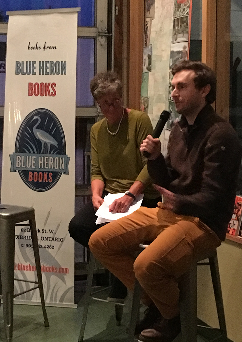
As he sat on a bar stool at one end of the Second Wedge brewery, a few nights ago, talking about his latest book, I got the sense Adam Shoalts was a different sort of author. Blue Heron Books had brought along piles of his book, A History of Canada in Ten Maps, to sell. And he seemed game to answer whatever questions either the host or audience threw at him. But when he was asked – in fun – whether he needed GPS to navigate his way to Uxbridge, he had a logical map-reader’s answer.
“I came from several hours north of here,” Shoalts admitted. “I didn’t use GPS. I just memorized all the highways and roads I’d need to take to get here, and I arrived within minutes of seven o’clock,” the time of his presentation.
As odd as it seems, some people refuse to accept the rule of thumb that the best way to accomplish things is most modern way. For Adam Shoalts, in town at Second Wedge on Oct. 1, writing about geography, exploring places generally known as wilderness, and travelling to a reading gig here in town are all second nature.
Most often his journeys, whether on foot or in writing, have begun with actual maps, not the Global Positioning System. As a kid, Shoalts explored the countryside outside his home in Pelham, Ont. He enjoyed poking beyond the town limits regularly, searching for wildlife, building forts, and walking barefoot or in moccasins (to be as quiet as possible).
“Most of all, I wanted to be like the native people,” he wrote in his book, “to be able to wander the forest … to find my way by reading the trees, moss, streams, and the sun and stars.”
Just after he completed his Ten Maps book, Shoalts chose to celebrate the 150th anniversary of Canada’s Confederation by hiking and canoeing the trails blazed by English sailor Samuel Hearne and Matonabbee, his Dene guide and mapmaker, in the late 18th century.
While not as famous as explorers David Thompson or Alexander Mackenzie, Shoalts believes Hearne and Matonabbee broke more boundaries in the pursuit of the Northwest Passage to the Pacific.
“However imperfectly,” Shoalts wrote, “they mapped an immense tract of territory that had previously been entirely unknown to outsiders.”
I too am a hopelessly romantic map-reader. In Grade 5, when my teacher taught us geography, the greatest gift – I thought – was getting a mapmaking assignment. That meant I could try to replicate Victorian England, ancient Greece or the tropical coasts of New Zealand, complete with rivers, topography and principal centres of population. I wore out whole sets of pencil crayons showing each feature.
These days, before I head out on the road across Ontario or on our annual European battlefield trips, I often get my bearings first by exploring road maps, historic site maps, and distances (using a ruler and converting centimetres to kilometres). There’s a greater sense of taming the distance and peeling away the unknown when it’s laid out on a map, even if all that detail is as close as a click on Google Maps.
Among those listening to Shoalts’s talk and Q-and-A the other night, was Christine Kennedy, half the mapmaking team (with her husband Mark Smith) known as Chrismar. Invited to explain what is her life’s passion and occupation, Christine explained to the Second Wedge audience that she and Mark spend half of each year gathering research on Canada’s national and provincial parklands, and the other half actually canoeing, hiking, and backpacking the routes through each (they’ve assembled more than 50 Adventure Maps) to reveal every valuable travel detail that visitors might need.
“We don’t GSP our way through,” she said of their Adventure Map sojourns. “We hike and paddle our way through. Makes it more real.”
Adam Schoalts maps the way Chrismar does to help dispel the myths and reinforce the truths of Canada’s extremities. He writes that despite her finite geography, Canada is a changing thing, something that exists in our imaginations.
He suggests the countryside could be home to sasquatches or unicorns, but more likely suffers from disrupted natural habitat, artificially altered waterways, and a vulnerable environment that’s just a legislator’s pen stroke away from clear cutting, drilling or fracking. Shoalts, as I said, seems more than a map historian.
His credits – elected fellow of them Royal Canadian Geographical Society, national champion of the trans-Canada trail, called by many Canada’s greatest living explorer – speak of his past accomplishments. But he’s as much forward-thinking as looking in the rear-view mirror.
“Canada’s 150th has come and gone,” he writes in his book. “I hope we can find the courage to chart a new path that will leave room on our maps for true wilderness – metaphorical ‘blank spaces’ where the imagination still roams free.”
And I’ll be out there too, more likely with a physical map guiding me than a smart phone.